Submitted by Ben Surpless (re-posted from: http://keckutah.blogspot.com/)
So why are we here?
In order to understand how earthquakes propagate and fractures form in rocks, geologists like us analyze these features in the field. Here in southern Utah, there is spectacular exposure of fractures associated with a major fault system. This area affords our research squad the perfect opportunity to document these fractures, so that we can better understand how rocks behave under stress.
So why does anyone care?
Fractures associated with major faults can be used to better understand the size and distribution of earthquakes. In addition, fractures in rocks increase the flow of fluids like water, oil and natural gas in the Earth. Furthermore, where water circulates through fractures, deep in the Earth, its temperature increases and may return energy to the surface – yay geothermal energy!
What we’ve done…so far:
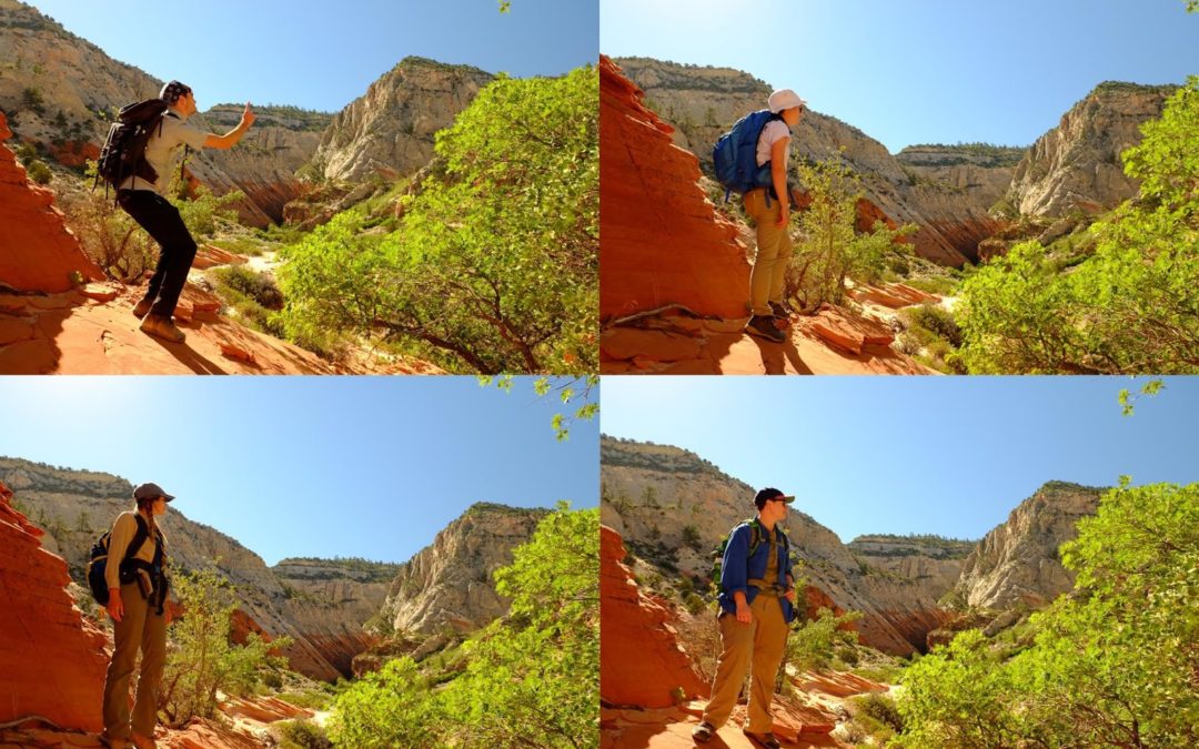
Our research is looking at how stress associated with major fault zones, such as the Sevier fault here in southern Utah, impacts the adjacent rocks. We have been spending our first couple days in the field measuring the distance between fractures and characterizing their orientation relative to one another. We have all had great time climbing rocks, smashing poorly cemented sandstones for scientific inquiry and sliding down Jurassic-aged sand dunes.
Tip of the day: “Boots, not Butt!” -when sliding down a steep slope, be sure to slide on your boot soles, not your pants; the friction produced during a controlled slide is easily enough to rip a pair of field pants and expose your field tighty-whities.