What: This project will evaluate the potential activity of the Leech River and San Juan Fault systems, two major crustal faults that underlie the capital city of Victoria, British Columbia on Vancouver Island, Canada. Current scientific thought suggests that these faults were last active in the Eocene. However, there are several lines of evidence to suggest that these faults ruptured throughout the late Quaternary, and therefore may have the propensity to rupture in the future. Student projects are designed to evaluate the slip history of these important structures on Vancouver Island, British Columbia, based on structural, stratigraphic, geomorphic and remote sensing work. The results from this work will have important implications for seismic hazards in British Columbia.
When: mid-June to mid-July, 2016
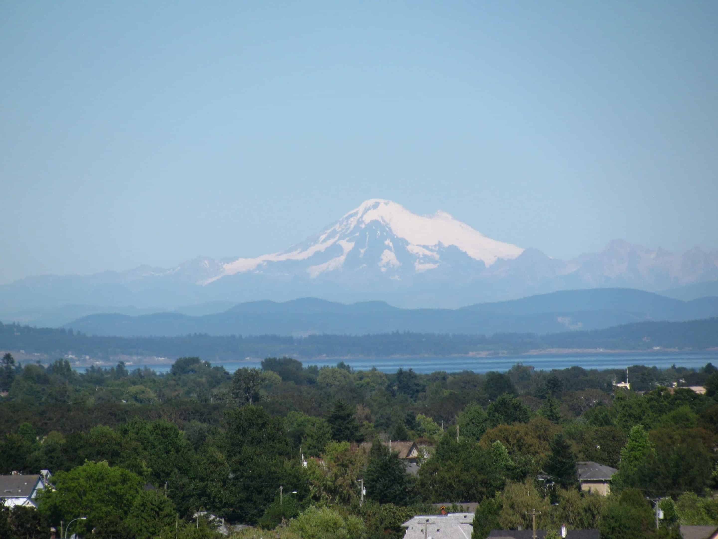
Where: Port Renfew on Vancouver Island, British Columbia, Canada
Who: Drs. Kristin Morell and Tom Gardner, 4 students.
Project Overview and Goals
It is well known that the Pacific northwest region of Canada is at risk for large subduction zone earthquakes. Because subduction zone megathrusts produce the largest and most damaging earthquakes, significant attention has been focused recently in improving our understanding of the seismic cycle associated with the Cascadia megathrust fault in Canada (e.g. Dragert , 2001; Goldfinger et al., 2003; Wang et al., 2013). This improved knowledge has led to significant advancements in the identification and mitigation of seismic risk for the populated regions of the Pacific Northwest (Halchuk et al., 2015), which include the Canadian cities of Vancouver and Victoria, British Columbia. While the seismic history of the Cascadia megathrust is reasonably well understood, the active crustal faults that must overlie it remain poorly identified, especially in western Canada where no active crustal faults have been formally recognized. Student projects will involve geologic mapping, kinematic analyses, and stratigraphic work along a ∼45 km long region where two important crustal fault systems (the San Juan and Leech River fault systems), intersect the Pacific coast in British Columbia. Student projects will collectively evaluate the overall slip history of these important structures on Vancouver Island.
Geologic Background
Presently, the Juan de Fuca plate subducts beneath Vancouver Island at a rate of approximately 45 mm/yr (DeMets et al., 2010). Much of this convergence is taken up on the subduction zone thrust, which is currently locked along its shallow portion and is therefore considered capable of producing great earthquakes (McCaff ey et al., 2013). The nature of seismicity within the crust above the megathrust is not well defined. Historical records show that large magnitude > 7 crustal earthquakes have occurred near the center of Vancouver Island as recently as 1946 (Rogers and Hasegawa, 1978). But, the fault that ruptured during this event is not yet known, and no active crustal faults have been identified on Vancouver Island.
 Potential Student Projects
We propose a series of student projects that will evaluate the slip history of the Leech River and San Juan Fault crustal systems, two fault systems that have been integral to the geologic make-up of present day Vancouver Island. In these projects, students will: 1) date, map, and produce stratigraphic sections of the Quaternary surficial units in the area that overlie or are in proximity to those faults; 2) measure Quaternary displacement and/or offset recorded in these sediments using lidar (i.e. James et al., 2010) and/or field data; and 3) undertake structural studies to analyze the pre-Quaternary kinematics and slip history of these fault systems. These projects are described in more detail below:
Surficial mapping, Quaternary stratigraphy and recent slip on the San Juan and Leech River faults
We have identified several places where post-glacial Quaternary sediments intersect the San Juan and Leech River Faults. These sediments will be used to constrain the timing of recent faulting. Along the San Juan Fault trace, glacial-marine sediments exposed in a quarry and now at ∼ 100 m elevation are highly deformed, and this deformation may be related to recent slip on the fault. Along the Leech River Fault, we will examine a sequence of glacio-fluvial sequences that are preserved in an alluviated stream on the north side of a shutter ridge, and may also be offset by the fault at this location.
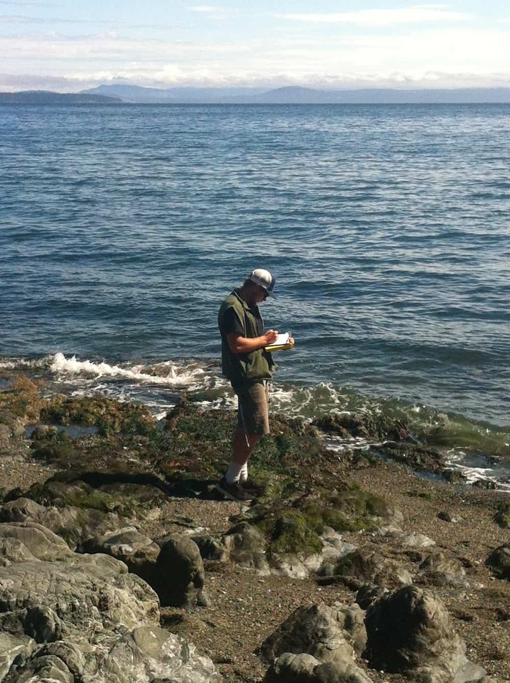
Fieldwork
Students will map the distribution, age, and stratigraphic relationships between post-glacial sediments to test if they have been offset recently by the Leech River-San Juan Fault systems. Stratigraphic sections of key deposits will be made, along with regional surficial maps of these units. We will collect radiocarbon and/or OSL dates where appropriate. If no abundant material for radiocarbon dating is found in the field, we will collect bulk sediment samples that will be sieved and picked for small carbon fragments.
Fault strands that displace Quaternary sediments will be surveyed in the field. This overall project could comprise 2-3 student projects.
Fall semester work
Students will produce surficial maps of their field areas based on airphoto or lidar data in ArcMap. Fault strands measured in the field will also be mapped along strike and in map view using either airphoto and/or lidar data.
Testing for kinematics and timing of Neogene fault slip on the Leech River and San Juan Faults
The late Eocene to Oligocene marine sediments of the Carmanah Group lie across both the Leech River and San Juan Faults, in unconformable contact with older bedrock units. The orientation and distribution of this unit has not been mapped in detail, but because of its age it should record any post-Eocene tectonic movements across these faults. Preliminary data suggest that the elevation of the unconformity at the base of the Carmanah Group lies at different elevations across potentially active fault strands.
Fieldwork
In order to constrain Neogene tectonism, a student will analyze the thickness, depth to unconformity and structural orientation of the Carmanah Group sediments across the Port Renfrew region.
Fall semester work
In a GIS platform, the student will produce a structure-contour map and a detailed geologic map showing his/her bedding dip and fault orientation data of the Carmanah Group sediments. The production of the map will be aided by airphoto and/or lidar mapping of lineaments that could produce the observed bedding orientations.
Structural mapping and kinematic analysis of the pre-Quaternary San Juan fault
One potential student project will assess the pre-Quaternary slip history of the San Juan Fault by analysis of slickenfibers and other kinematic indicators that are preserved along this fault system. We will take advantage of a quarry that exposes a large portion of the San Juan Fault, where there are numerous mesoscale faults with slickenlines.
Fieldwork
A student will collect fault population data within the San Juan fault quarry by measuring the orientation of fault planes and slickenlines on > 50 mesoscale faults. We will also spend some time in the field looking for additional exposures of the San Juan Fault along strike, as there are several logging roads that we have yet to visit that should offer fresh exposures. We will collect additional fault population data where we field additional exposures of the fault. Oriented samples for thin sections could also be collected in the field where appropriate, in order to determine kinematics.
Fall semester work
The fall semester will be spent analyzing the field data on stereonets in order to determine the kinematics of the fault system (e.g. Marrett and Allmendinger , 1990) and creating maps of this overall fault system in map view based on air photo and lidar mapping. If collected, thin sections will be analyzed for fault kinematics.
Logistics/Field Conditions
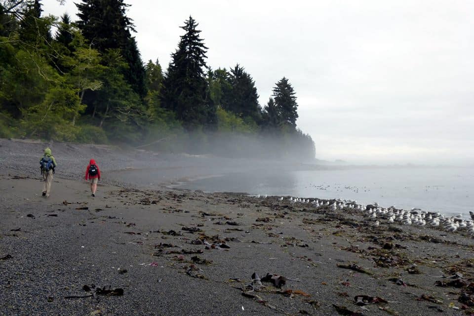
Students will fly into Victoria and drive to Port Renfrew, on the Pacific coast. Port Renfrew is a ∼ 2 hr drive from Victoria and is within kilometers of the field sites. We will stay in two cottages, each with four beds, near the town of Port Renfrew on the Pacific coast (http://www.portrenfrewcottage.com/). Field work may include hiking up rivers, trails and along beaches, as well as tromping through the rain forest. Students should be prepared to work all day, and be prepared for variable weather. It may be cool at night and relatively hot during the day. Rain is not uncommon. Cell phone coverage is not reliable in this region. We will prepare our own meals at the cabins.
 Recommended Courses/Prerequisites
Recommended courses include Structural Geology, Geomorphology and/or Sedimentary geology. Some familiarity with GIS is also desirable.
Contact Info
Kristin Morell (kmorell@uvic.ca)
Tom Gardner (tgardner@trinity.edu)
References
DeMets, C., R. G. Gordon, and D. F. Argus (2010), Geologically current plate motions, Geophysical Journal International, 181 (1), 1–80, doi:10.1111/j.1365-246X.2009.04491.x.
Dragert, H. (2001), A Silent Slip Event on the Deeper Cascadia Subduction Interface, Science, 292 (5521), 1525–1528.
Goldfinger, C., C. H. Nelson, and J. E. Johnson (2003), Holocene earthquake records from the Cascadia subduction zone and northern San Andreas fault based on precise dating of offshore turbidites, Annual Review of Earth and Planetary Sciences, 31 (1), 555–577.
Halchuk, S., T. Allen, J. Adams, and G. Rogers (2015), Fifth generation seismic hazard model input fi as proposed to produce values for the 2015 national building code of Canada, Geological Survey of Canada Open File 7576, doi:10.4095/293907.
James, T., J. Bednarski, G. Rogers, and R. Currie (2010), LIDAR and digital aerial imagery of the Leech River Fault Zone and coastal regions from Sombrio Point to Ten Mile Point, southern Vancouver Island, British Columbia, Geological Survey of Canada, Open File 6211, doi:10.4095/285486.
Marrett, R., and R. W. Allmendinger (1990), Kinematic analysis of fault-slip data, Journal of Structural Geology, 12 (8), 973–986.
McCaffrey, R., R. W. King, S. J. Payne, and M. Lancaster (2013), Active tectonics of northwestern U.S. inferred from GPS-derived surface velocities, Journal of Geophysical Research: Solid Earth, 118, 709–721, doi:10.1029/2012JB009473.
Rogers, G. C., and H. S. Hasegawa (1978), A second look at the British Columbia earthquake of June 23, 1946, Bulletin of the Seismological Society of America, 68 (3), 653–676.
Wang, P.-L., S. E. Engelhart, K. Wang, A. D. Hawkes, B. P. Horton, A. R. Nelson, and
Witter, C. (2013), Heterogeneous rupture in the great Cascadia earthquake of 1700 inferred from coastal subsidence estimates, Journal of Geophysical Research: Solid Earth, 118 (5), 2460–2473.